Flood Monitoring
Detecting floods from space
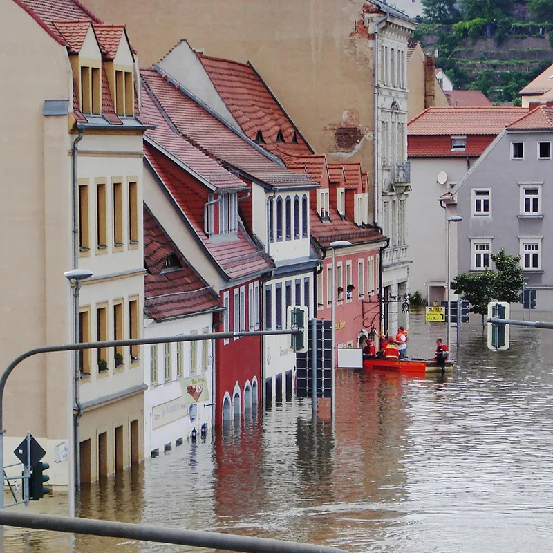
Heavy rainfall and floodings can have severe impacts both economically as well as by posing a threat to peoples’ lives. In 2021 torrential rainfall had devastating effects in Germany leading to an estimated damage of $40 billion (Munich Re).
Satellite imagery can help to provide real-time estimates of the extent of the flood and thereby help emergency personnel to identify hotspots where help is needed most urgently. For this purpose, segmentation maps of flooded and non-flooded areas are needed as much as information about the flood depth and about critical infrastructure such as roads and bridges. Machine learning tools can be used to avoid the manual effort of annotating huge amounts of satellite imagery, e.g. by doing automatic segmentations of flooded areas and buildings.
We are working on improving segmentation maps for flooded areas by employing state-of-the-art machine learning techniques such as unsupervised learning techniques and including additional information sources, such as multispectral satellite imagery and digital elevation maps.