Projects

Earth Observation · Machine Learning · Space

SmartCut

SmartCut

AI-based prediction of yield, quality and optimal mowing time for permanent grassland

SmartCut combines Earth observation, weather and field data with AI to predict the optimal mowing and fertilisation dates for permanent grassland – increasing productivity, forage quality and sustainable milk production.

agricultureearth-observationmachine-learning
Ongoing
KIB-UDZ / ADAPT

KIB-UDZ / ADAPT

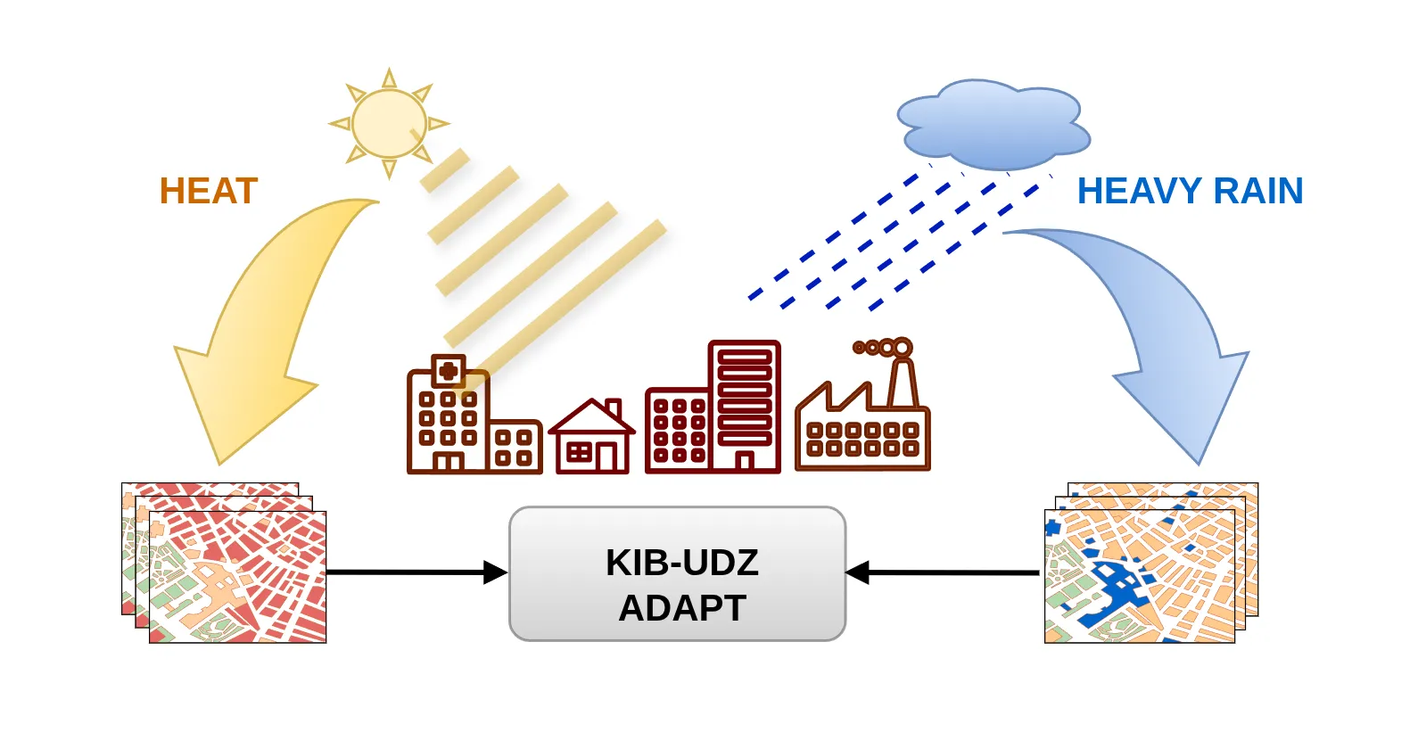
AI-accelerated urban climate simulation for digital twins

KIB-UDZ develops ADAPT, an AI-based tool that lets municipalities simulate heat and heavy-rain adaptation measures in urban digital twins within seconds — combining the PALM-4U climate model with efficient machine learning.

urban-climateearth-observationmachine-learningclimate-adaptation
Ongoing
Yield Consortium

Yield Consortium

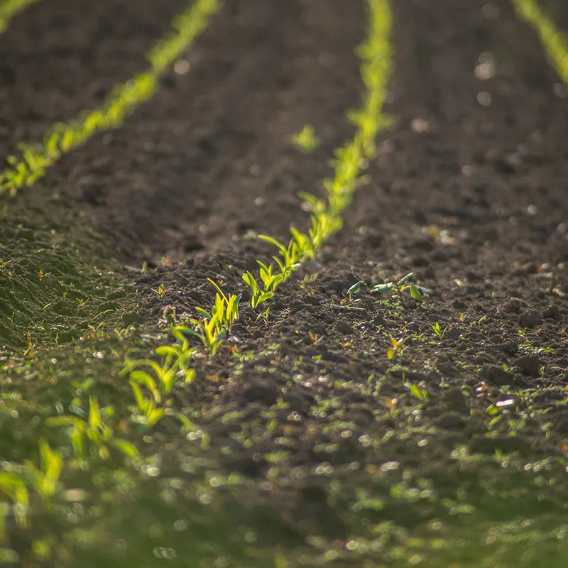
Earth Observation for Agriculture

We use satellite imagery to predict agricultural yield reliably and early in the season, helping to use resources more efficiently and to make informed agronomic decisions.

agriculturecrop-yieldearth-observationmachine-learning
Completed
Flood Monitoring

Flood Monitoring

Detecting floods from space

Machine learning tools automatically segment flooded areas in satellite imagery and help emergency personnel identify the hotspots where help is needed most.

disaster-responseflood-mappingsemantic-segmentationearth-observation
Completed
Emissions Monitoring

Emissions Monitoring

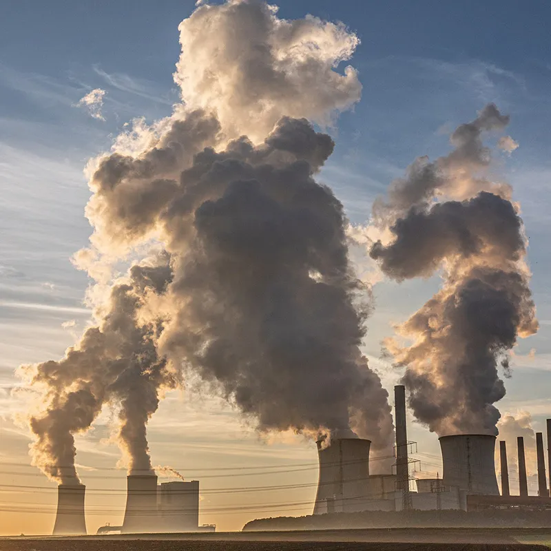
Understanding and predicting air quality

Reliable and timely air-quality forecasts help take effective counter-measures and support informed decisions by authorities.

environmentair-qualityemissionsforecasting
Completed